

Turnkey Geospatial Systems & Analysis
One accountable partner for the systems, hardware, fieldwork, mapping, analysis, and support required to identify relevant areas and make informed natural-resource decisions.
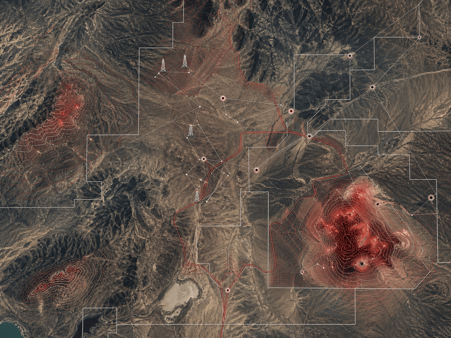
From terrain capture and system deployment to analysis and decision-ready results—delivered as a complete managed capability.
Outsource the entire geospatial process
Organizations should not need to assemble separate equipment vendors, software providers, survey teams, analysts, and support contractors to obtain a reliable understanding of their terrain and areas of interest.
Neotech takes responsibility for the complete requirement. We design and bring the appropriate field and processing systems, operate the acquisition workflow, manage and analyze the data, identify and communicate relevant areas, and sustain the capability through training, maintenance, and expert support.
Complete capability delivery
Everything required to perform the work
The final system is sized around the required coverage, accuracy, terrain, operating conditions, security needs, and desired level of client involvement. Hardware and software selections therefore remain vendor-appropriate and project-specific rather than tied to one fixed package.
Terrain data acquisition
A project-specific combination of unmanned aerial platforms, positioning and survey equipment, imaging or scanning sensors, rugged field devices, and licensed third-party satellite or aerial data where required.
Processing infrastructure
Configured workstations or servers, secure storage and backup, connectivity, GIS and remote-sensing software, field applications, and controlled data-management workflows.
Specialist execution
Mobilization, survey planning, data capture, processing, quality assurance, terrain modeling, interpretation, analysis, verification, and identification of areas relevant to the project objective.
Operational continuity
Reports and decision-ready outputs, system documentation, team training, preventive maintenance, calibration coordination, upgrades, data refreshes, and retained expert support.
Analysis & identification
Turn captured terrain into relevant areas
Acquisition is only useful when it leads to an understandable result. Our specialists combine terrain, imagery, survey, geological, environmental, infrastructure, and available operational information to identify, rank, and explain the areas most relevant to the client's objective.
Typical oil and gas applications
- Regional prospectivity screening using geology, geophysics, well control, and satellite-derived indicators
- Spatial registers for wells, pipelines, flowlines, facilities, access roads, inspections, and maintenance activity
- Pipeline and facility siting based on terrain, drainage, geohazards, settlements, land access, and constructability
- Repeat-imagery monitoring for encroachment, erosion, flooding, vegetation stress, and surface change
- Lithological and structural interpretation from multispectral and radar imagery
- Mineral alteration mapping, anomaly integration, and prospectivity modeling
- Drill-hole, trench, sample, assay, geological, and tenement data management
- Pit, dump, stockpile, haul-road, watershed, rehabilitation, and closure monitoring
Mining
Move from regional evidence to priority targets
As one application of the broader service, mineral workflows connect satellite interpretation, structural geology, geochemistry, geophysics, sampling, and drilling in a traceable spatial model. The result is a clearer basis for field programs, target ranking, mine planning, and responsible lifecycle monitoring.
Infrastructure & route planning
Choose routes and sites with the full terrain in view.
Compare corridors, facilities, access roads, haul routes, and utility sites against slope, drainage, geohazards, settlements, land access, constructability, sensitive receptors, cost, and proximity to existing networks.
Environment & stewardship
Measure change and support transparent reporting.
Establish defensible baselines and monitor land cover, habitat, water, drainage, disturbance, rehabilitation, encroachment, and cumulative effects through repeatable spatial evidence.
One partner from requirement to ongoing support
The engagement can be fully managed by Neotech or progressively transferred to the client team. In either model, the equipment, data, methods, documentation, training, maintenance, and expert support are treated as one continuous capability.
Assess and design
We define the required outcomes, operating environment, coverage, accuracy, data sources, field constraints, and the complete hardware, software, staffing, and support architecture.
Supply and mobilize
We procure, configure, integrate, and deploy the appropriate terrain-capture equipment, positioning systems, processing environment, storage, software, and field workflow.
Capture, process, and analyze
Our team manages field and remote data acquisition, quality control, mapping, modeling, interpretation, validation, and identification of relevant areas.
Hand over and sustain
We deliver decision-ready maps, datasets, models, reports, and interfaces, then provide user training, documentation, maintenance, upgrades, and ongoing analytical support.
Outsource the complete terrain-mapping and analysis capability.
Discover how our solutions can elevate your organization to new heights.